

The Tweetsie Trail Elizabethton access is at the trail’s eastern end, where the route follows the former East Tennessee & Western North Carolina Railroad corridor between Elizabethton and Johnson City. The packed-rock or crushed-gravel trail is used for walking, running, and biking, with interpretive markers along the way.
- Route: Between Elizabethton and Johnson City
- Length: Described as 9.6 miles or 10 miles, depending on the source
- Elizabethton access: State Line Road and Hatcher Lane
- Parking: Blue Ridge Drive in Elizabethton
What is the Tweetsie Trail?
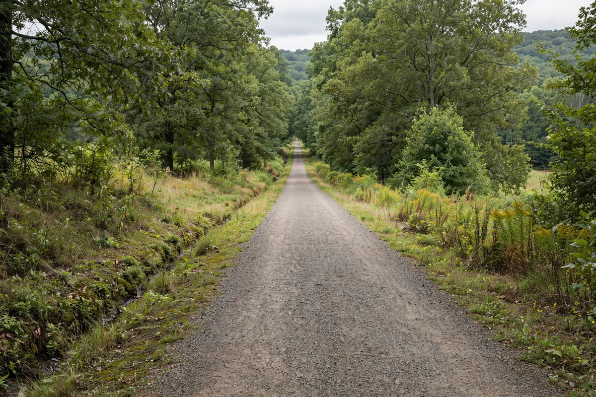
The Tweetsie Trail is a rail-trail on the former East Tennessee & Western North Carolina Railroad right-of-way. The railroad’s nickname, “Tweetsie,” came from the sound of its steam whistles.
The completed route connects Hatcher Lane in Elizabethton with Alabama Street in Johnson City. Sources give its length as either 9.6 miles or 10 miles. Carter County Tourism describes the surface as crushed gravel and notes that interpretive markers commemorate significant stops on the railroad line.
At the Johnson City end, the trailhead is at Alabama Street and Legion Street. That end also gives you a starting point for a Johnson City day trip from Elizabethton.
Where is the Elizabethton trail access?
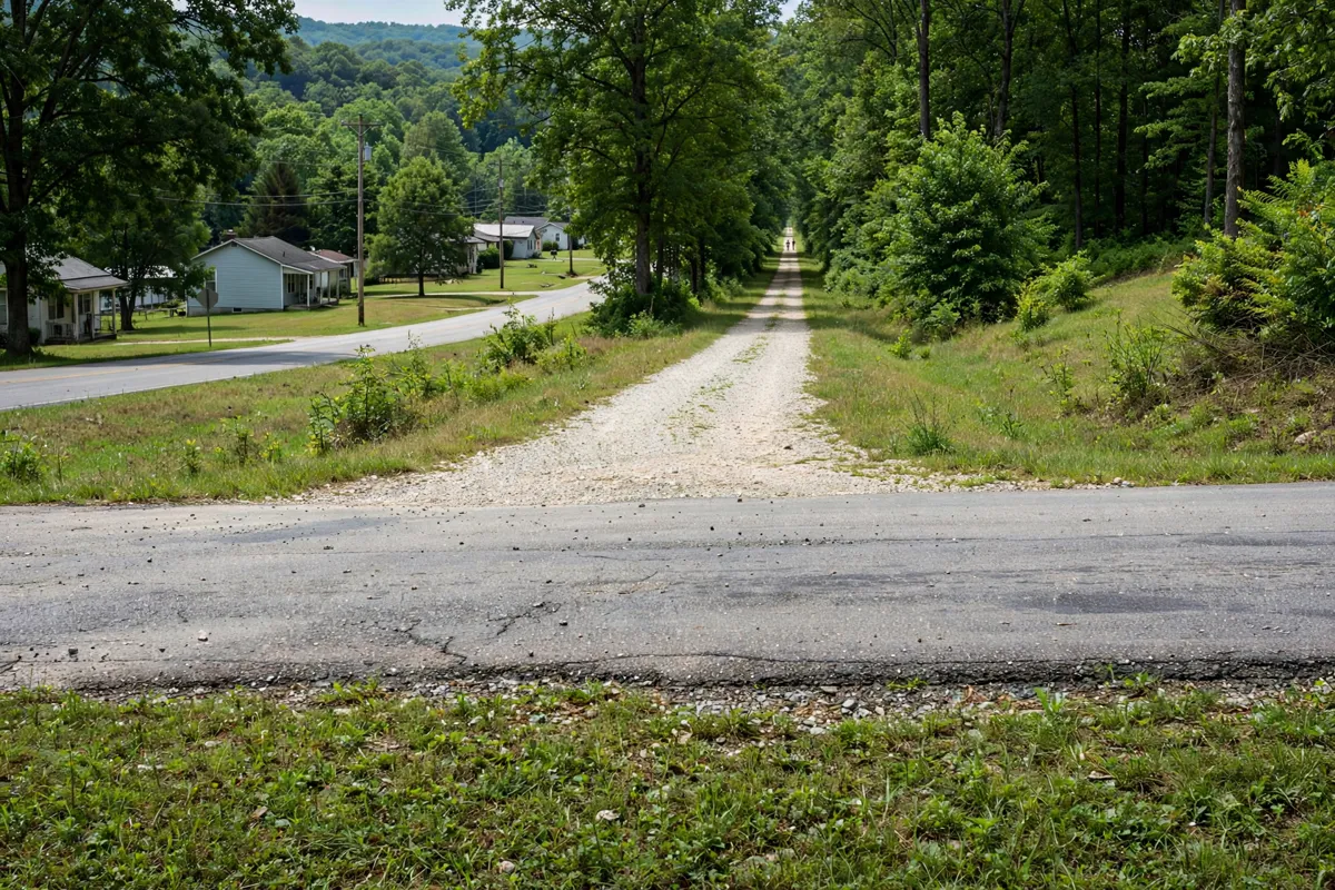
The Elizabethton end is identified at the intersection of State Line Road and Hatcher Lane, and parking is available at Blue Ridge Drive. Use those locations to orient your outing on the Elizabethton side of the route.
The trail’s other endpoint is at Alabama Street and Legion Street in Johnson City. If you’re starting in Elizabethton, you can walk or ride toward Johnson City and return along the same corridor; the full trail is 9.6 miles or 10 miles.
For another stop in town, the Elizabethton Covered Bridge and downtown walking guide covers a separate local outing.
What should you know about walking and cycling?
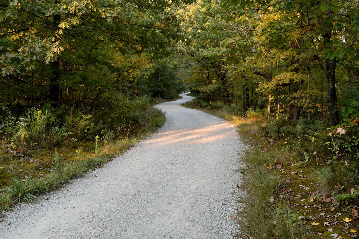
The trail is used for walking, running, and biking, and its tread is described as gradual packed rock or crushed gravel. Those surface descriptions give you a useful picture of the route before setting out on foot or by bike.
Because the route extends between two cities, choose your turnaround point with the full trail length in mind. Interpretive markers along the corridor refer to significant stops on the railroad line, adding historical context as you travel.
How can you plan a Tweetsie Trail outing?
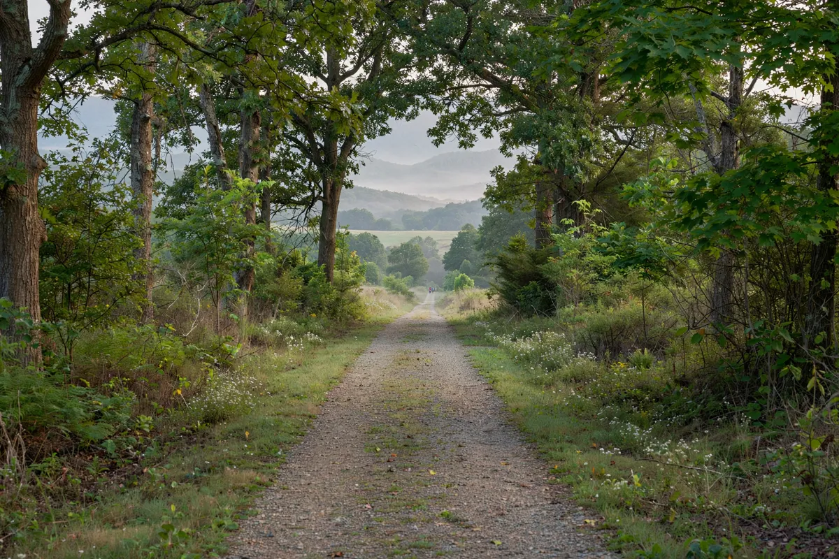
Start by choosing the Elizabethton access at State Line Road and Hatcher Lane, or parking at Blue Ridge Drive. Then decide whether you’ll explore a portion of the trail or take on more of the route toward Johnson City; the full trail is described as 9.6 miles or 10 miles.
Trail details and facility information can change, so check the official site before you go. Travelers Inn is in Elizabethton, and Travelers Inn near Elizabethton is one local lodging option for planning time in the area.
FAQs
How long is the Tweetsie Trail?
Sources describe the completed trail as 9.6 miles or 10 miles. Both figures refer to the route between Elizabethton and Johnson City.
Where can you access the trail in Elizabethton?
The Elizabethton end is identified at State Line Road and Hatcher Lane. Parking is available at Blue Ridge Drive.
Can you bike on the Tweetsie Trail?
Yes. Biking is a trail use, alongside walking and running; Carter County Tourism also identifies hiking as an activity.